Walks, hikes, climbs…

Some of the most beautiful paths in Cortina d’Ampezzo

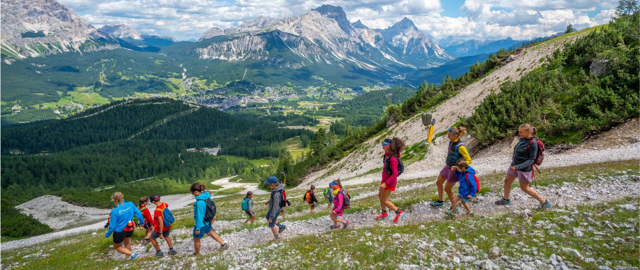
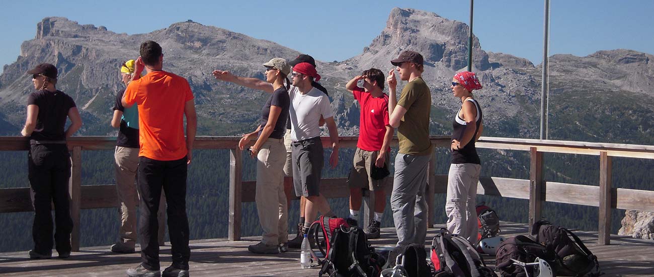
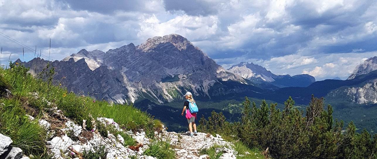
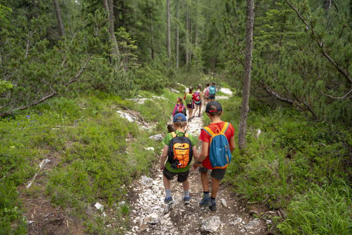
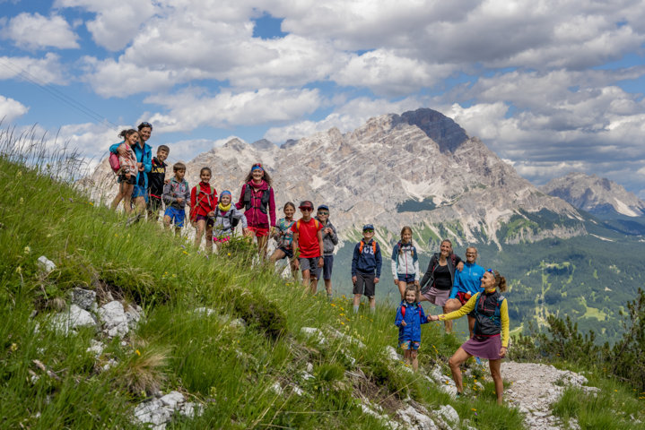
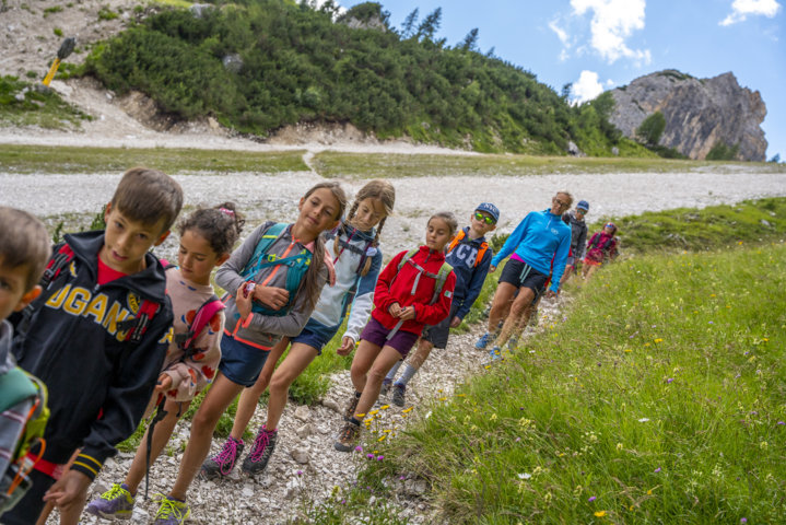
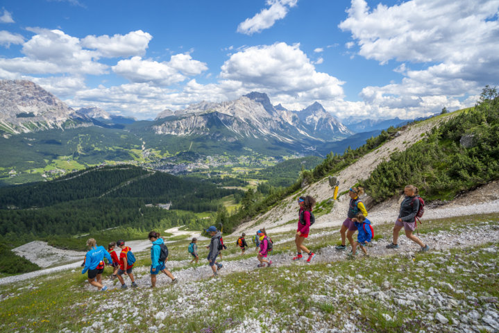
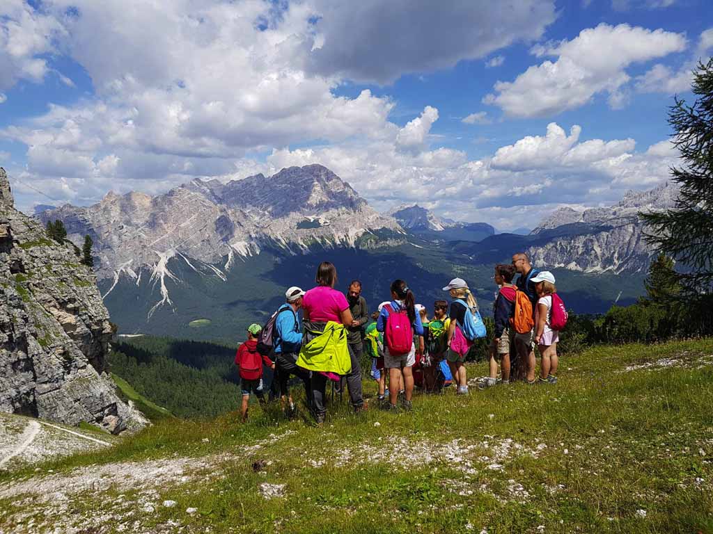
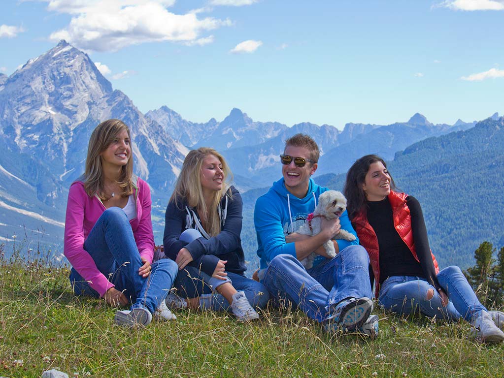
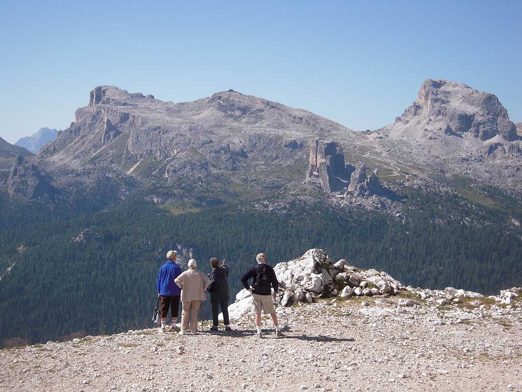
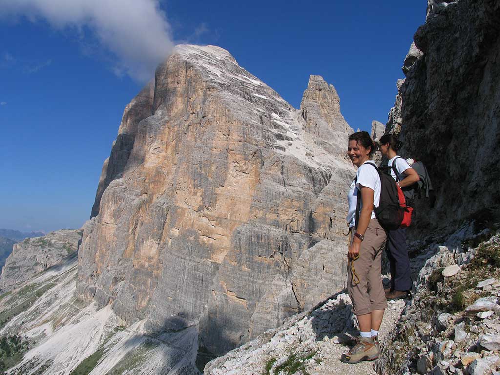
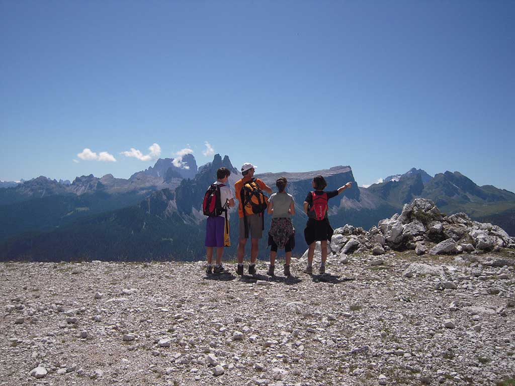
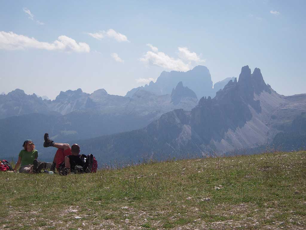
In the summer, walks, hikes, vie ferrate, mountain-bike trails, and the most picturesque mountainscapes can be reached by the Tofana chairlifts!

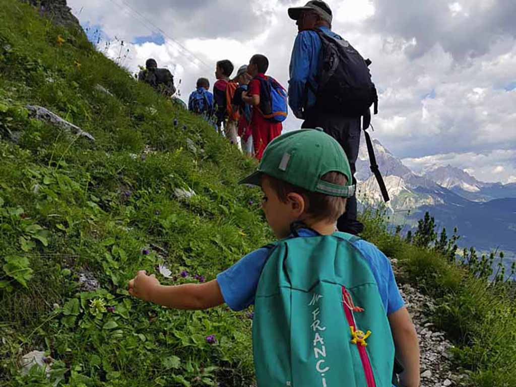
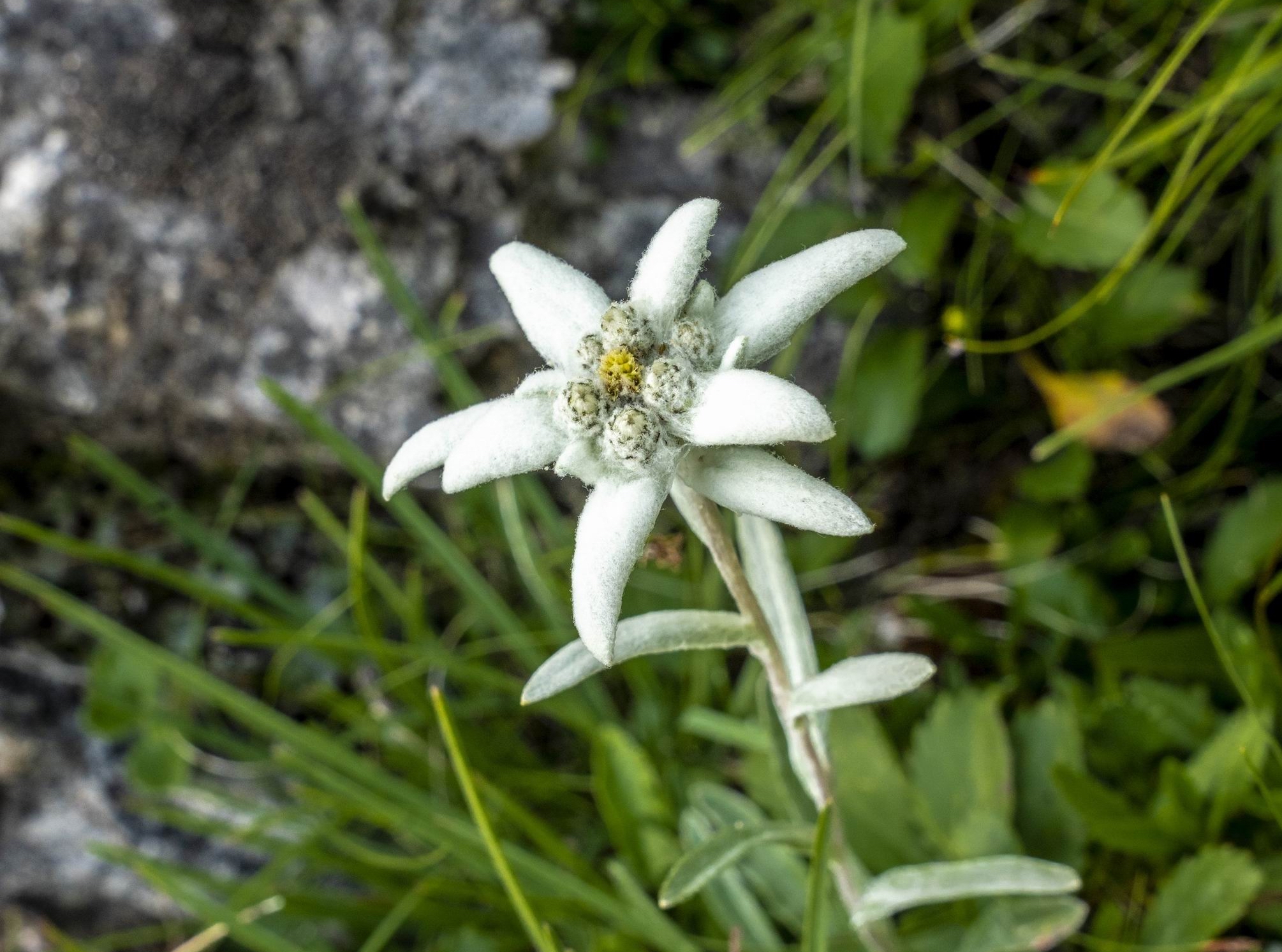
The Tofana area is particularly suitable for summer hikes due to the varied and beautiful environment, rich in flora and fauna, and for the presence of important structural remains from the First World War that make it a favourite destination for those who love historical-naturalistic excursions.

Chamois trail:
Canalone Trail – Forcella Rossa (chamois – mountain goat – trail). From Tofana’s Canalone slope, it crosses the vast bank at the feet of the rocks and proceeds towards the Forcella Rossa slope where it joins trail n. 407.
Start altitude 2090 m s.l.m.
End altitude 1875 m s.l.m.
Gradient 215 m
Progression 1300 m
Difficult E (Hiker)
Time needed about 40 minutes
Suitable for families and children
READ MORE…

Rifugio Duca d’Aosta (2098 mt.) – Cortina, trails n°405 e n°403.

Easy and comfortable route suitable for fit persons of all age groups. Starting from the rifugio, walk through the coniferous forests at the foot of the Tofane, past Malghe di Fedarola (shepherds hut), Restaurant Baita Resch, Pocol and then down to Cortina.

Rifugio Duca d’Aosta (2098 mt.) – Rifugio Dibona (2083 mt.) trails n°405 e n°403.

A short (45 minutes) and easy walk at mid altitude. The trails wind through low vegetation, thus offering striking views of the surrounding mountains.

Rifugio Pomedes (2303 mt.) – Rifugio Duca d’Aosta (2098 mt.), trail n°420.

An easy trail that connects the two rifugi across the ski runs.

Rifugio Duca d’Aosta (2098 mt.) – Lago Ghedina (1449 mt.) trails n°405 e n°407 e n°410.
Medium hike. From Rifugio Duca d’Aosta, hike down the legendary “Vertigine Bianca” (White Vertigo) ski track to Baita Pié Tofana; continue along the easy and comfortable trail no 410, named the “Montanelli path”, to reach the Lake Ghedina: beautiful body of water located within the forest. Those wishing to walk further on may continue down to Fiames (1293 m) on paved roads or directly to Cortina along forest trails.

Rifugio Pomedes (2303 mt.) – Rifugio Dibona (2083 mt.) – Rifugio Giussani (2580 mt.), along the Astaldi cable-lined route.
The route is moderately difficult, with some exposed portions and is for hikers who are suitably equipped. From Rifugio Pomedes you will soon reach the “Sentiero Astaldi”, one of the oldest cable-lined routes in the Ampezzo valley. The trail winds along a marked sloping ledge. At the end of the short route you join trail no 403 and may either descend to Rifugio Dibona or climb up the easy military road to Forcella Fontananegra and Rifugio Giussani. The rifugio is nestled in a wild spectacular mountainscape in the very heart of the Tofane group.

cartina-area-tofane-2023-sito

Piè Tofana Parking - Chairlift departure